Navigation Tools&Adjustable Harnesses
Navigation Tools&Adjustable Harnesses Navigation Tools&Adjustable Harnesses
Home Navigation Equipment Waterproof Compass
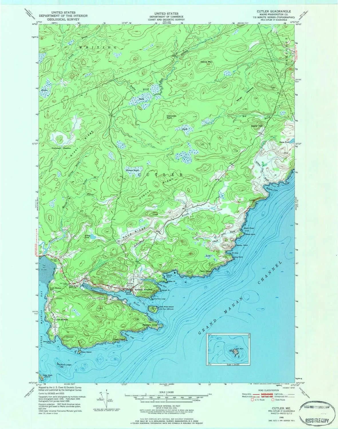
Cutler ME topo map, 1:24000 Scale, 7.5 X 7.5 Minute, Historical, 1949, Updated 1984, 27.3 x 21.5 in

Cutler ME topo map, 1:24000 Scale, 7.5 X 7.5 Minute, Historical, 1949, Updated 1984, 27.3 x 21.5 in

$ 49.00

$ 82.00

Save: $

Color:
  • Polypropylene
  • Regular Paper
  • Tyvek
Unavailable
Please select combo product attributes
The combo subtotal is $,SAVE$

Product Details

  • Printed on Tyvek® (synthetic)
  • USGS topographic map of Cutler, ME, at 1:24000 scale. Lighter material. Waterproof. Tear-resistant. Foldable. Very durable. Perfect for backpacking and the outdoors.
  • Cities, towns, villages: Cutler,Little Machias
  • Mountains: Eastern Knubble,Compass Rock,Cocoa Mountain,Stone Hill
  • Valleys: Low elevation topographic features such as flatlands, river valleys, and canyons.


USGS topographic map of Cutler, Maine, dated 1949, updated 1984.

Includes geographic coordinates (latitude and longitude), lines of elevation, bodies of water, roads, and more. This topo quad is suitable for recreational, outdoor uses, office applications, or wall map framing.

Printed on-demand by YellowMaps on the print material of your choice.

Shipping rolled from Minneapolis, MN, United States.

Product Number: USGS-5533505
Map Size: 27.3 inches high x 21.5 inches wide
Map Scale: 1:24000
Map Type: POD USGS Topographic Map
Map Series: HTMC
Map Version: Historical
Cell ID: 11115
Scan ID: 806626
Imprint Year: 1984
Woodland Tint: Yes
Aerial Photo Year: 1946
Field Check Year: 1949
Datum: NAD27
Map Projection: Polyconic
Map published by United States Geological Survey
Map published by United States Department of Commerce
Map Language: English
Scanner Resolution: 508 dpi
Map Cell Name: Cutler
Grid size: 7.5 X 7.5 Minute
Date on map: 1949
Geographical region: Maine, United States
Northern map edge Latitude: 44.75°
Southern map edge Latitude: 44.625°
Western map edge Longitude: -67.25°
Eastern map edge Longitude: -67.125°

Surrounding map sheets (copy & paste the Product No. in the search bar):
North: USGS-5684171,USGS-5684179,USGS-5684175,USGS-5535779,USGS-5637963
East: USGS-5534565,USGS-5534569,USGS-5534567
South: USGS-5534781
West: USGS-5534373,USGS-5534369,USGS-5684599,USGS-5534375,USGS-5534371

You May Also Like

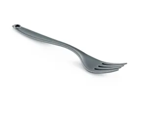
Fork - Grey
Fork - Grey

$ 0.95

Save: $

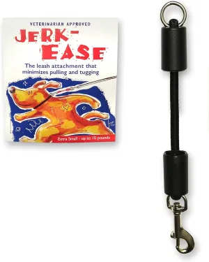
BUNGEE DOG LEASH EXTENSION – Patented Shock Absorber Attachment Protects You and Your Dogs – Works with ANY Leash & Collar or Harness – a MUST for Retractable Leashes – PICK SIZE/COLOR BELOW

$ 16.00

Save: $

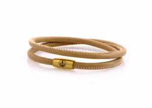
JUNO Anchor GOLD double 4 L

$ 29.00

Save: $

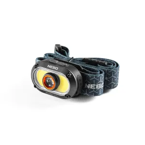
Nebo Mycro 500  Headlamp & Cap Light 500 Lumen
Nebo Mycro 500 Headlamp & Cap Light 500 Lumen

$ 34.99

Save: $

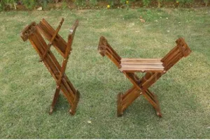
Roman Folding Stool
Roman Folding Stool

$ 175.00

Save: $

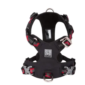
True Love Lightweight Reflective Harness - Black, XS

$ 75.64

Save: $

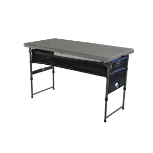
Quest Outdoors Camp Table 4

$ 99.99

Save: $

3 Square
3 Square

$ 37.99

Save: $

Kunsan Air Base T-Shirt

$ 16.00

$ 20.00

Save: $

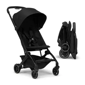
Joolz AER  Lightweight & Compact Travel Stroller - Portable One-Hand Fold Design - Ergonomic Seat for Infant & Toddler (up to 50 lb) - XXL Sun Hood - Stroller for Airplane -Travel Pouch -Space Black
Joolz AER Lightweight & Compact Travel Stroller - Portable One-Hand Fold Design - Ergonomic Seat for Infant & Toddler (up to 50 lb) - XXL Sun Hood - Stroller for Airplane -Travel Pouch -Space Black

$ 449.00

Save: $

Cart
Navigation Tools&Adjustable Harnesses
Your cart is currently empty.